
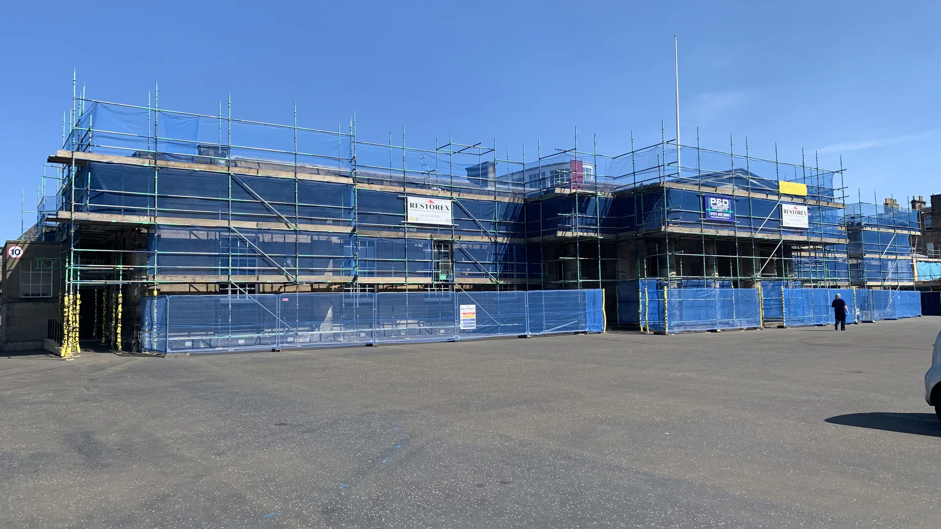
Reviewed by Restorex’s building restoration team
The value is in the interpretation
Drone photographs can reveal inaccessible roofs, chimneys, parapets, gutters and façades, but images alone are not a repair plan. Capture should follow an agreed brief and be organised so every observation can be located on an elevation, roof plan or image register.
Contractor knowledge helps translate visible defects into likely work items, access requirements and trade interfaces.
From defect to quantity
Where scale and image quality permit, affected areas, lengths and numbers can be estimated and scheduled. Each item should state the location, observed condition, suggested next step and confidence or limitation. This creates a practical basis for budgeting and prioritisation rather than false precision.
Know what the camera cannot prove
Aerial capture cannot confirm concealed timber decay, material below roof coverings, internal moisture routes or structural causes hidden within the fabric. Reports should distinguish observation from interpretation and recommend close inspection, opening-up or specialist advice where necessary.